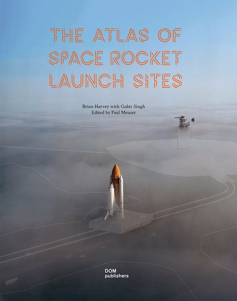
The Atlas of Space Rocket Launch Sites

The Atlas of Space Rocket Launch Sites is the first book to present all 25 major global launch sites – from Wallops Island in the United States to Tanegashima in Japan and Woomera in Australia. It explains their architecture and geography and is illustrated with exquisite drawings, photographs, and one hundred exclusive maps by the German cartographer Katrin Soschinski.
Launch sites, where all space journeys begin, are almost magical places, well embedded in popular culture. Few people have not seen images of Cape Canaveral and the launch tower that sent Apollo 11 to the moon. Other launch sites are less well known. Some are well publicized but hard to reach like Kourou in French Guiana. Some are quite secret like Sohae in North Korea and Palmachim in Israel. Others like Hammaguir, Algeria, are virtually unknown to all but space historians, though it was the launch location for France to orbit its own satellite, the third country to do so.
A general feature of launch sites is that they are located away from populated areas, out of fear of the consequences of explosions and indeed from debris from stages falling onto people and their homes. Chinese Xichang, for example, is in mountainous Sichuan near the world-famous panda reserves. The weather conditions at launch sites range from arctic to hot desert to equatorial jungle. As far as architecture is concerned, they all have many features in common: launch pads, of course, but also mission control centers, press areas, fuel farms, integration buildings, airfields, ports, industrial zones, and preparation areas for the astronauts.
The Atlas features descriptions of each site that include an outline of the history of the site in question, why and how it came to be situated in its location, its current use and future prospects, and its distinctive features.
