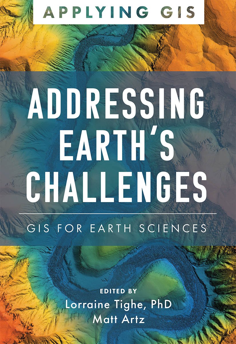
Addressing Earth's Challenges
GIS for Earth Sciences
Discover The Geographic Approach to enabling science for a more exceptional planet.
Place matters to governments and citizens, and location intelligence and data science have never been more critical for smarter national decision-making. Addressing Earth’s Challenges: GIS for Earth Sciences explores a collection of real-life stories about how earth science organizations successfully use geographic information systems (GIS) to visualize and analyze data to streamline workflows, gain competitive insight, drive decision-making, design efficient operations, and foster civic inclusion.
Find out how multiple organizations implement GIS in six scientific fields:
- geoscience,
- sustainable energy,
- environmental monitoring,
- climate science,
- weather, and
- marine science.
The book also includes a section on next steps that provides helpful ideas, strategies, tools, and actions to help jump-start your use of GIS for earth sciences. A collection of online resources, including additional stories, videos, new ideas and concepts, and downloadable tools and content, complements this book.

