Mapping Across Boundaries
GIS for Geospatial Collaboration
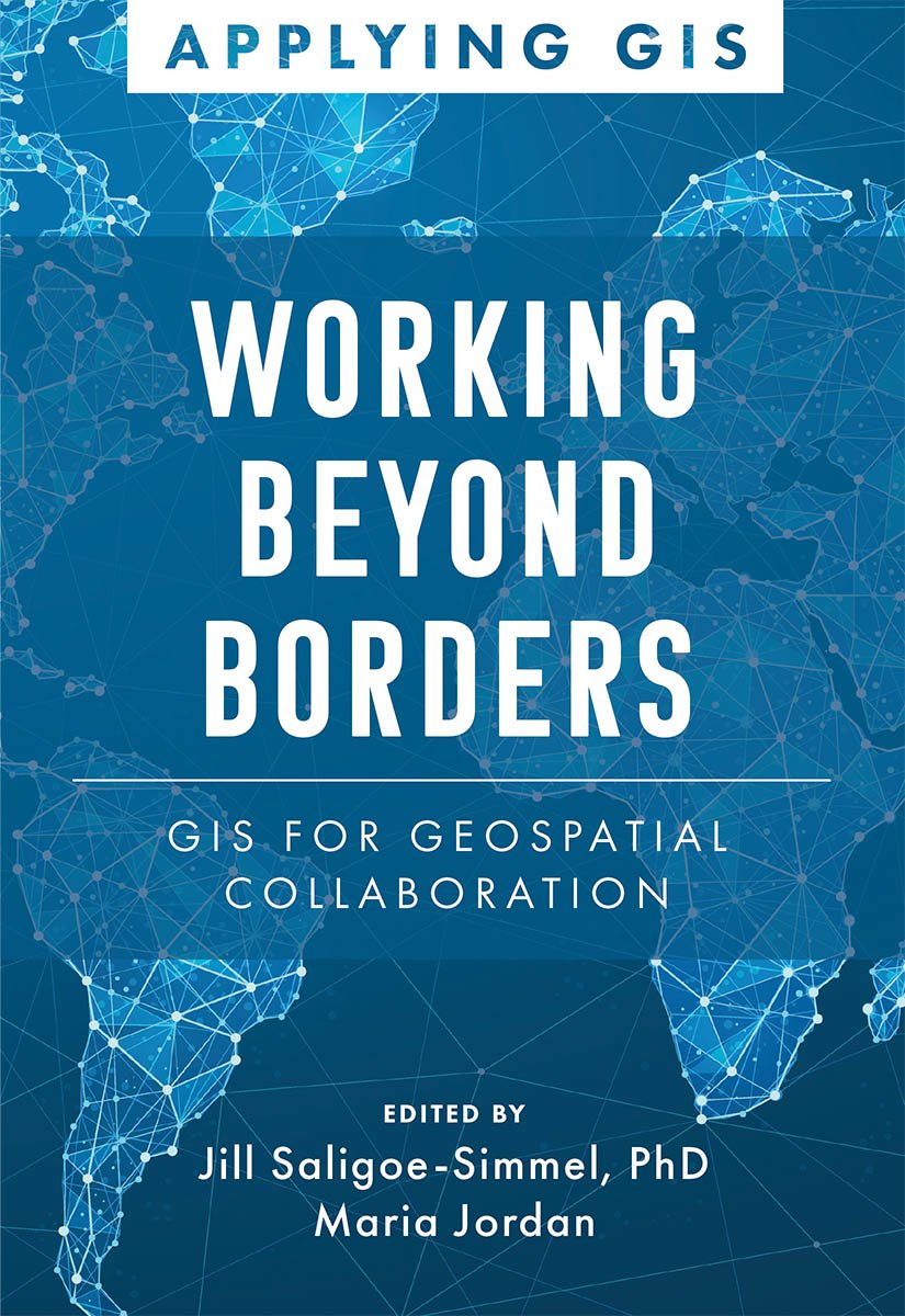
In today’s world, organizations face a multitude of problems that require an unprecedented need for tools to share information and work better together.
In Working Beyond Borders: GIS for Geospatial Collaboration, see how government, industries, and others, are using location intelligence and GIS to interconnect people across jurisdictions and sectors, to respond to some of our most critical issues, such as climate change, sustainable development, racial equity, emergency management, conservation, and public health and safety.
Readers will also see how organizations are integrating geospatial infrastructure to improve efficiency, drive innovation, and empower every day decision-making in communities around the world.
Edited by Jill Saligoe-Simmel and Maria Jordan
Applying GIS
The Applying GIS series explains how to become a spatial thinker with ideas and strategies for building location intelligence into your profession, industry, or discipline. Each book is divided into relevant topic areas that include real-life case studies that will inspire new ways to solve complex problems.

