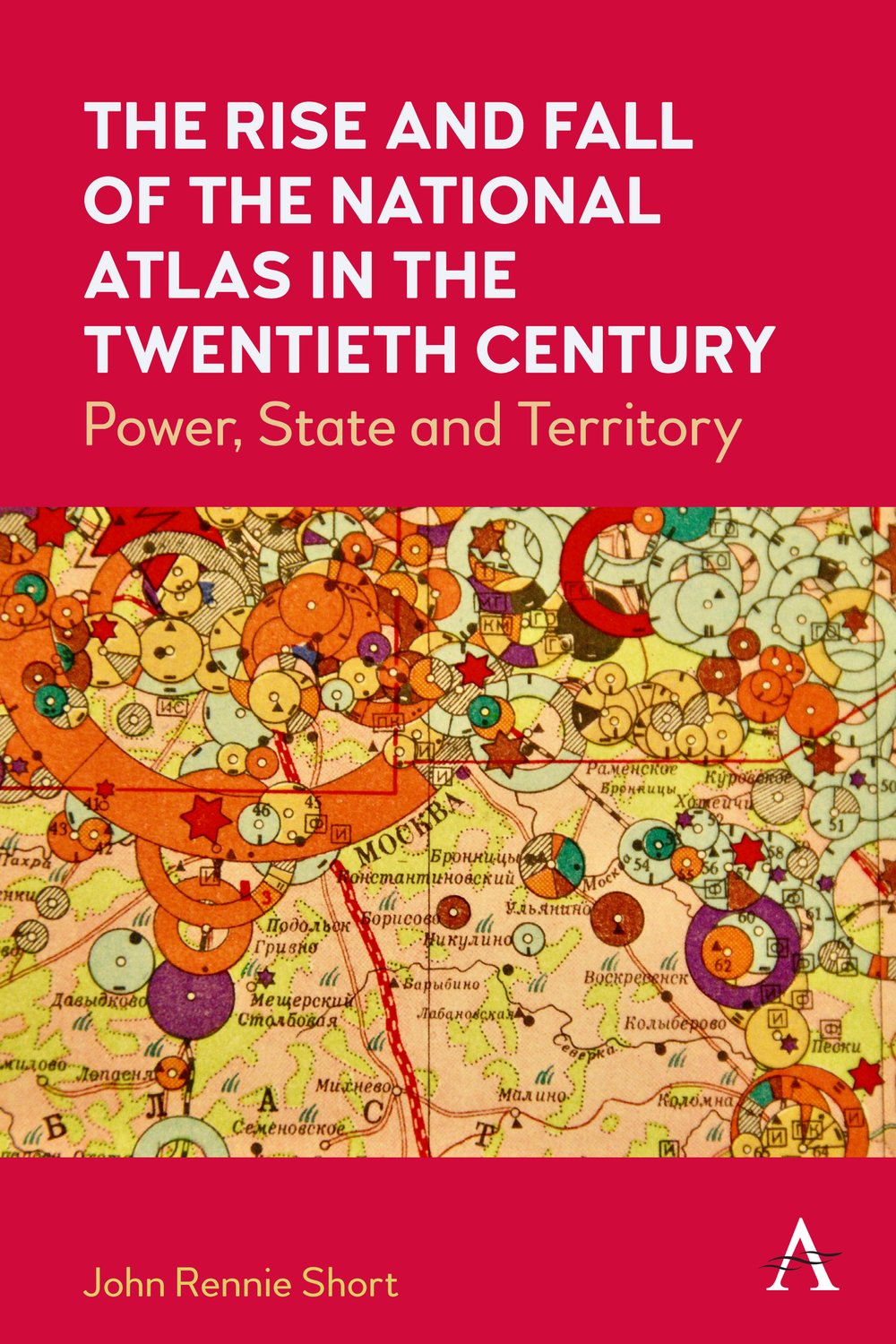
The Rise and Fall of the National Atlas in the Twentieth Century
Power, State and Territory

Between 1900 and 2000, more than seventy countries produced a national atlas, an official or quasi-official rendering of the nation-state in maps and accompanying text. This book considers the reasons behind and characteristics of this state-sponsored cartographic explosion. These national atlases mirror and embody some of the important themes of this turbulent century, including the complex connections between nation, state and territory, the rise of state-sponsored science; the growth of nation-states; colonialism and postcolonialism; and the geography of biopolitics.

John Rennie Short is a professor in the School of Public Policy, University of Maryland, Baltimore County. He has published widely in a range of journals and is the author of fifty books.

